
Aliso Viejo Previous Residents Sources
A house history starts with the source that can answer the time question. Orange County deeds supply transfer parties and legal descriptions. Assessment records anchor the parcel and roll context, while permits show construction activity. Directories can name a listed occupant or business at a particular address, but coverage is uneven. Federal census schedules are public only through 1950, before Aliso Viejo became a residential community. Keeping ownership, occupancy, development, and historical context in separate lanes makes the trail easier to test.
| Source | Years It Covers | Where Held | What It Shows |
|---|---|---|---|
| Current assessment roll | Annual; closed Jan. 1, 2026 | Orange County Assessor | APN, situs, values, exemptions; owner omitted online |
| Recorder instrument index | 1982 to present | Clerk-Recorder / RecorderWorks | Grantors, grantees, dates, document types |
| Older deed books and indexes | 1889 to 1981; earlier predecessor records | Recorder / Orange County Archives | Chain before modern instrument numbers |
| Master-plan and tract files | 1979 onward | County, City, Recorder | Lots, streets, and subdivisions |
| Building permits | County before July 1, 2001; City after | County and City | Construction, applicants, contractors, dates |
| Telephone or reverse-directory evidence | 1997, 1999, 2009, 2014 examples | Source-specific library or archive | Listed occupant or business, incomplete |
| Federal census | Through 1950 public | NARA, FamilySearch, library databases | Households before modern development |
| Historic aerials | 20th century; 1938 to 2016 examples | Map and archive collections | Physical development and land use |
For a recent home, start with the parcel and current acquisition deed. For a 1980s or 1990s household, add permits and directory clues. For land before the planned community, move to tract maps, ranch records, aerials, and predecessor county jurisdictions.
Aliso Viejo Resident Records: Deed Trail
Begin with the current acquisition deed, not a deed of trust. The free assessor lookup accepts an eight-digit APN and suppresses owner names online. Use the OC parcel map or county parcel-map instructions to turn the address into an APN, then capture the situs, roll date, values, and exemptions. Ownership normally requires the RecorderWorks index or the assessor counter. The Public Service Counter is at 500 S. Main Street, 2nd Floor, Orange, weekdays 8 a.m. to 5 p.m.; the county directory lists 855-886-5400. A targeted public-record or data request can supplement the APN result. Tax-bill tools can add payment and delinquency context by APN or bill data, but they are not resident lists. Read the deed for the grantee, grantor, recording number and date, legal description, and return or mailing address. A trust or LLC needs more corroboration.
- Verify the USPS address, click the parcel, and copy the eight-digit APN.
- Check the current assessment roll, noting that its public roll closed January 1, 2026 and omits the owner name online.
- Find the current acquisition deed in RecorderWorks and identify the seller as grantor.
- Search that seller as an earlier grantee, then repeat the backward search through prior transfers.
- Validate every hop against the same legal description, tract, lot, or APN before calling it a prior owner.
The seller-to-grantee step is the pivot. A name match alone can join unrelated parcels, while a matching legal description shows that the same land carried into the next record.
- Grantor and grantee
- The grantor conveys an interest; the grantee receives it. The role changes with the document type.
- Chain of title
- The linked sequence of recorded transfers for one parcel.
- Legal description
- The recorded land identity, such as a tract and lot, that is more stable than a street label.
- Criss-cross directory
- An address- or street-arranged directory that can connect a listed person or business to a number.
- Enumeration district
- The census area assigned to an enumerator, useful when matching a household to a historical schedule.
For a present-day parcel-by-parcel street workflow, the Aliso Viejo Street Directory keeps the address angle separate from this backward chain.
Aliso Viejo Records Before and After 1982
RecorderWorks uses a recording year plus a six-digit instrument number for documents from 1982 forward. Pre-1982 copies require book, page, and instrument information when available. That seam nearly matches Aliso Viejo's shift from ranch and master-plan records to the first residential transfers. The online search is an index only, so the entry identifies a copy but does not show the deed image or full legal description.
Orange County staff do not perform title searches by phone, mail, or counter visit. Searchers must identify the document first, then request a copy through the official-record copy instructions. Copies cost $1 per page plus $1 to certify each document or map. Mail requests go to 601 N. Ross Street, Santa Ana, CA 92701 with a self-addressed stamped envelope; the Recorder's phone is 714-834-2500. The Clerk-Recorder fee schedule is the place to check related charges.
Older material can move to the Orange County Archives, whose holdings begin with county formation in 1889. The court and archive fallback matters when a record is not online. A missing web result does not prove that a deed or index entry was destroyed.
Note: A recording number identifies an index entry, but only the requested copy supplies the deed language and legal description.
Aliso Viejo Records From 1979 to 2001
The local story explains why house-history research changes custodian. Juan Avila's 1842 grant and later Moulton Ranch ownership belong to the land era. The Mission Viejo Company bought the last 6,600 acres in 1976, the county approved the master plan in 1979, first homes sold in March 1982, and residents arrived later that year. More than 90% of March 2001 voters approved cityhood, which began July 1, 2001. The City's history account provides the local timeline.
Use three record eras: ranch and land-grant evidence; county-planned development from 1979 through 2001; and City-generated files after incorporation. Deeds remain with the county throughout. Before 1982, a modern street-name search may describe a parent ranch parcel or construction site rather than a suburban household.
Aliso Viejo covers 6.93 square miles in a compact planned layout. That geography makes parcel maps, tract records, and the City or county custody cutoff more useful than assuming an old downtown-style directory existed.
| Era | Best starting evidence |
|---|---|
| Before 1979 | Ranch, land-grant, predecessor-county deeds, aerials |
| 1979 to 2001 | Master plan, tract maps, county permits, environmental files |
| 2001 to present | County deeds plus City permits, planning, and code records |
Aliso Viejo Records Before Cityhood
Pre-2001 permits belong with Orange County legacy files, not only City Hall. After incorporation, City permit and planning records can contain the project address, applicant or contractor, valuation, work description, issue and final dates, inspections, and sometimes scanned plans. Those fields can date an addition or change of use, but an applicant may be a contractor and a permit does not establish who lived there.
For City records, submit the Aliso Viejo public-records form through the City's records email or counter with the address or APN, date range, permit or case number, record series, and preferred format. A CPRA determination is ordinarily due within ten days, with a possible 14-day extension, but that is not a promise of production within ten days. Building questions use 949-425-2540. The counter is open Monday through Friday from 8 a.m. to 1 p.m., with last check-in at 12:30 and alternate-Friday closures. Plan copies add an affidavit of intent, property-owner authorization, and a design-professional response period.
Note: A permit date establishes a project record, not the date a household moved into the dwelling.
Directory Clues for Aliso Viejo Previous Residents
No official catalog page located in the research proves a named publisher or a complete Aliso Viejo residential run. A property-specific environmental review for 26501 Aliso Creek Road does verify local directory evidence: Pacific Bell entries in 1997 and 1999, and Cole Information Services entries in 2009 and 2014. The examples are valuable dates, but they do not prove complete coverage or a library shelf run.
| Year and source | Verified local clue |
|---|---|
| 1997, Pacific Bell | Kmart Super Stores, Little Caesars, Perfuman 11A, Pizza Station |
| 1999, Pacific Bell | The same property-specific commercial directory evidence |
| 2009, Cole Information Services | K Tyner, Kmart, Lowe's |
| 2014, Cole Information Services | Lowe's and Lowe's Home Improvement |
These are commercial-property entries, not a complete resident roll. The Aliso Viejo Library at 1 Journey, 949-360-1730, offers catalog access, public computers, and reference help Monday through Thursday 10 a.m. to 7 p.m. and Friday through Saturday 9 a.m. to 5 p.m. Ask staff to verify titles and years. The Library of Congress telephone-directory collection can add regional searches, but unlisted numbers and opt-outs leave gaps.
Aliso Viejo Residents and the 1950 Census
The public federal census reaches through 1950 under the 72-year release rule. That makes the census useful for ranch and predevelopment context, not for the first suburban households of Aliso Viejo. Search Orange County, predecessor Los Angeles County, Rancho Niguel, Moulton Ranch, Mission Viejo, Laguna Niguel, and El Toro when the address did not yet exist.
- Choose the address year and decide whether it falls in the ranch, construction, or residential era.
- Use the nearest available census schedule and note the household, place, and enumeration district.
- Compare names and variants with directory, deed, obituary, and probate clues, treating an absence as unknown.
- Keep the census as historical context rather than proof of a later Aliso Viejo address.
Use the National Archives census guidance, FamilySearch, or a library database for access. Pairing a directory year with the nearest census year works best when the address, surname, and land identity are all recorded.
Note: An unlisted address can signal coverage or listing limits rather than an empty home.
Aliso Viejo Records: Aerials and Tracts
For land before modern development, use recorded tract maps, parent-parcel legal descriptions, historic aerials, and topographic maps. Local research identified aerial examples from 1938 through 2016. Aerials show land use and physical change, while tract maps show lots, easements, and street creation. Neither one names a household.
No official Aliso Viejo Sanborn sheet or year was located. Do not substitute an unsupported Sanborn claim for the evidence that fits this planned community. Start with a recorded map or county parcel reference, compare the aerial at the target date, then connect the tract or lot to deeds and permits. The Assessor's property-map guidance is a useful parcel starting point; archival series may require catalog or appointment access.
The chronological recipe is simple: present address to APN, assessment, acquisition deed, and post-2001 City files; 2001 back to about 1982 through county permits, tract records, directories, and environmental files; then abandon the modern street name and follow ranch parcels, aerials, and predecessor-county records.
Aliso Viejo Previous Residents, Obituaries, and Heirs
Ownership is not residency. Pair a directory clue with deed dates, permit chronology, and the address itself. Obituaries and cemetery material can add relationships, while an Orange County probate file may name a decedent, petitioner, heirs, or creditors. Probate access can run through online case categories, paid name searching, justice-center indexes, and copy requests, while restricted filings remain closed. A recorded distribution deed can then connect an heir back to the parcel. Online obituaries are submitted narratives, so verify an important relationship against a custodian record. For a same-name person, require two independent links and keep the situs address separate from the mailing address.
The historical directory collections themselves belong with the Aliso Viejo City Directory research, while a deed chain supplies the property spine. Together they can show who owned a place, who was listed there, and when the record trail changes. They still cannot prove every person in a household.
The Orange County Clerk-Recorder vital-records page lays out the local copy path when a death or marriage link needs an official record.
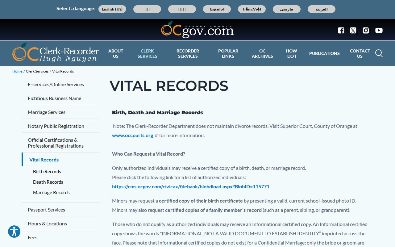
A county certificate can confirm an event or relationship only for an eligible requester. In-person applicants use the South County Branch at 24031 El Toro Road, Suite 150, Laguna Hills, weekdays 9 a.m. to 4:30 p.m.; certificates are generally issued the same day. Mail orders require a notarized signature and are generally processed in 5 to 10 business days at P.O. Box 238, Santa Ana, CA 92702. A failed search still consumes the fee.
For the statewide route, CDPH application forms cover births, deaths, and marriages, while the state fee schedule lists 2026 fees of $31 for birth, $26 for death, $19 for marriage, and $18 for dissolution certificates. CDPH lists 916-558-1784 for questions. Authorized mailed copies need a notarized sworn statement. Confidential marriage, adoption, and sealed records remain restricted.
Lawful use. Previous-resident research in Aliso Viejo belongs to house history, genealogy, family, estate, heir, and personal research. Public records do not authorize surveillance, threats, stalking, harassment, or harm to a living person under California law.