
Aliso Viejo Neighbors by Record
Looking up neighbors around an Aliso Viejo address takes a set of records, each with a distinct purpose. The OC Public Works map gives the parcel shape and APN. The Orange County Assessor supplies a secured-value view after an eight-digit APN is known, but its free result omits the owner name. RecorderWorks is a grantor-grantee index for transfers, not an image archive. California voter tools either authenticate the voter or restrict a file request to qualified uses. City, AVCA, and sub-HOA sources add civic and common-area context. No listed source is a complete household list.
| Source | What It Shows About a Block | Access |
|---|---|---|
| OC Public Works OC Interactive Map | Parcel outlines, APNs, nearby parcels, mapped context, and available layers | Free web map with locate, pan, zoom, identify, layer, basemap, and print functions |
| Orange County Assessor secured-value page | Situs, assessment values, exemptions, and roll information for a known APN; owner omitted online | Free APN-only lookup; counter, phone, and targeted public-record or data-request channels |
| RecorderWorks | Grantor and grantee names, document types, dates, and recorded transfer pointers | Free index; copy requests by mail or counter, with phone help at 714-834-2500 |
| California voter tools | A voter's registration confirmation, address, party, and election details after authentication | Self-lookup or a qualified file application; no public street browser |
| City, AVCA, and sub-HOA records | City service roles, council geography, common-area governance, and association context | City request channels, AVCA contact, and private rosters only when voluntarily published |
| Aliso Viejo Library and historical help | Catalog access, public computers, reference help, and leads to local material | Branch access and staff inquiry; exact directory runs require verification |
That split matters when the goal is to know who is near a parcel. A deed can identify a title party. An assessor exemption can support a claim of principal residence. A mailing address can point somewhere else. A GIS polygon identifies land, not a social tie. A voter record can describe a registration address only through permitted access. None of these proves that every adult, child, non-owner occupant, guest, or household member lives there. The most careful Aliso Viejo neighbors lookup keeps parcel evidence, civic geography, and personal identity as separate layers.
Clicking Parcels Near an Aliso Viejo Address
Use the county map as the block's starting point. The OC Interactive Map supports address or APN locating, panning, zooming, identify and click actions, layer selection, basemaps, and printing. The practical method is adjacent-parcel inspection. Locate the target, zoom until parcel outlines are clear, click the target, then click each side and rear parcel. Record each APN. A radius or buffer function was not verified in the research, so a claimed fixed search ring would overstate what the tool proves.
- Normalize the full address with the postal address format, then locate it in OC GIS. Save the APN shown with the parcel.
- Enter the eight-digit APN in the Assessor's secured-value search. Note the situs, roll date, land and improvement values, and exemptions. The owner name is intentionally suppressed online.
- Use the APN and legal description to find the likely acquisition deed in RecorderWorks. For 1982 forward, use the recording year plus six-digit instrument number. Older records need book, page, and instrument information.
- Read adjacent deeds only after names are found through the record chain. Compare the lot, tract, APN, situs, and mailing address rather than treating a map label as title proof.
- Add the official council district, City services, and AVCA or sub-HOA layer when the question is about governance or common areas. Move to the full street chain only when the immediate block is no longer enough.
For a named street, the Aliso Viejo street directory follows the broader address chain. The block method stays narrower: it starts with one parcel and examines the polygons that touch it, without claiming that physical adjacency creates a personal relationship.
From APN to Aliso Viejo Deed
The APN → assessor → deeds chain is the cleanest way to turn a neighbor question into a record question. The assessor page accepts exactly eight numeric APN digits. It returns secured-value information for the annual roll, including situs and value components where present, but the current public page says owner-name searching is not available and the owner name is omitted. The displayed roll closed January 1, 2026, so later changes may not be present. The Treasurer-Tax Collector's tools add tax bills, installments, payment status, and delinquencies, but tax status is fiscal evidence, not a resident roll.
More complete public-roll information can be inspected at the Orange County Assessor property-information and parcel-map counter, 500 S. Main Street, second floor, Orange, on weekdays from 8 a.m. to 5 p.m. The county directory lists 855-886-5400. The free web path remains APN-only. This is why adjacent GIS clicks do not instantly produce a list of named Aliso Viejo neighbors.
Once a likely title name is known, search the RecorderWorks grantor-grantee index. Modern documents use recording year plus a six-digit instrument number from 1982 forward. Pre-1982 copies require book, page, and instrument information when available. The index points to a document but does not show the deed image, legal description, signatures, or return address. The Clerk-Recorder says staff will not perform title searches by phone, mail, or in person. Request copies by identifying the document yourself, then use the official copy route: $1 per page plus $1 to certify each document or map, with mail requests sent to 601 N. Ross Street, Santa Ana, CA 92701 and a self-addressed stamped envelope.
Parcel terms. Read each label before drawing a conclusion about an Aliso Viejo address.
- APN
- The eight-digit county parcel number used to connect a map location to assessment information.
- Situs
- The physical location of the assessed parcel, which is not the same as a mailing address.
- Mailing address
- The destination for notices, which may be another home, a post-office box, a trust office, or a manager.
- Legal description
- The recorded land identity, such as a lot and tract reference, used to validate a deed-chain step.
Aliso Viejo Neighbors and Voter Privacy
California voter tools are often mistaken for a block directory. The Secretary of State registration-status service and Orange County's voter lookup are designed for a voter to check a registration, not for a stranger to browse a street. The self-service form asks for first and last name, full date of birth, a California driver license or ID number or the last four digits of a Social Security number, then returns a result for the matching voter.
A successful self-match can show registration confirmation and address, party and language preferences, polling place, upcoming-election information, and vote-by-mail or provisional-ballot status. It does not expose ballot choices. The portal advises waiting at least 24 hours after online registration. No public feature turns an address, ZIP code, or map view into a list of Aliso Viejo neighbors.
The controlled voter file is a separate access path. It can contain county, unique ID, name, residence and mailing addresses, phone or email, language, date of birth, gender, party preference, registration status, precinct, place of birth, status reason, vote-by-mail status, county voter ID, and participation history. Driver license or ID number, Social Security number, and signature are confidential. The Orange County voter-file application requires a permitted purpose, original wet signature, supporting material, payment, and identity documentation, with in-person or mail delivery to the Registrar of Voters at 1300 S. Grand Avenue, Building C, Santa Ana, California 92705. Questions can go to the Registrar at 714-567-7600. The state voter-file request rules explain the related eligibility and use limits.
California Safe at Home creates a lawful privacy gap for eligible people who fear for their safety. It provides a designated mailing address, mail forwarding, an agent for service, confidential voter registration, and possible DMV suppression. Participants can request a confidential voter-registration card at 877-322-5227 and should not use ordinary online registration. A missing voter result is not proof that a person moved or that a parcel has no occupants.
City, AVCA, and Aliso Viejo Sub-HOAs
An Aliso Viejo block can touch three governance layers. The City handles building, fire safety, planning, police, and public works. AVCA is the master HOA, maintains many parks, greenbelts, parkways, and slopes, and enforces CC&Rs. Sub-associations and private owners control much land and private roads. A parcel map can show physical adjacency, but it cannot tell a reader which layer has a record or a duty.
The City's official City and AVCA explanation is the best starting point for that split. AVCA's public contact is 949-243-7750. The City resource list also names American Legion Saddleback Valley Post 862, Friends of Aliso Viejo Library, senior services, youth organizations, and other civic groups. No authoritative complete sub-HOA inventory or public member directory was located, so an association roster should be treated as private unless the organization voluntarily publishes it.
| Layer | What It Adds to Block Research | Documented Access |
|---|---|---|
| City of Aliso Viejo | Building, planning, public works, police, fire-safety, council, and public-service context | City department channels and a targeted public-records request for a described record series |
| AVCA | Master common-area maintenance, parks, greenbelts, slopes, and CC&R governance | Published organizational contact, including 949-243-7750 |
| Sub-HOAs and private owners | Private roads, common areas, and association-specific context | Contact only where published; no complete public roster verified |
| Civic and library contacts | Voluntary community connection and local reference help | Aliso Viejo Library, public catalog, computers, and staff inquiry |
When a block question concerns a described City record series, use a public-records request rather than ask for an all-residents list. California's Public Records Act requires an ordinary determination within ten days, with a possible fourteen-day extension, but exemptions and production time still apply. The request should name the address or APN, record type, date range, permit or case number, and preferred format.
Aliso Viejo Council District Geography
Council districts add civic geography to a block search. Aliso Viejo's current address-based map separates city representation from parcel ownership and association boundaries. District 1 includes areas north of State Route 73 between El Toro Road and Cedarbrook. District 3 includes Town Center and The Commons, along with communities around Alicia Parkway, Pacific Park Drive, and State Route 73. These descriptions help orient a map click. They do not identify a resident or prove an association boundary.
The Census Bureau describes Aliso Viejo as a compact planned city, with 49,844 estimated residents on July 1, 2025, 6.93 square miles of land, and a 2020 density of 7,533.4 people per square mile. That scale explains why parcel geometry, council geography, and common-area layers can matter more than an assumed neighborhood radius. A ZIP delivery label, a city boundary, a council district, and an HOA area answer different questions.
| Geographic Layer | What It Answers | What It Does Not Answer |
|---|---|---|
| Council district | Which city representative covers an address | Who owns or occupies a parcel |
| Municipal boundary | Which city handles public services and regulation | Whether the postal city line matches the boundary |
| ZIP 92656 | Which delivery geography serves the address | Whether every address in the ZIP is inside city limits |
| AVCA or sub-HOA area | Which organization may handle common areas or CC&Rs | A private member list or a complete household count |
Why 2001 Changed Aliso Viejo Neighbor Records
Aliso Viejo's record boundary is unusually clear. The land was part of Orange County's older system, but city government began on July 1, 2001 after more than 90 percent of March 2001 voters approved incorporation. Before that cutoff, permits and planning files may sit with Orange County. After it, City files handle local permits, code, planning, and correspondence. Deeds, taxes, courts, and vital records remain with county or state custodians in either era.
That history changes how a block search should be framed. A pre-2001 map or permit may describe county planning, tract creation, or a parcel before a later street and association context. The first homes sold in March 1982 and residents arrived later that year, so earlier hits can describe ranch, construction, or commercial use rather than a later household. Search the record's jurisdiction and date, not only the current city name.
Orange County Archives describes holdings that begin with county formation in 1889, including deeds and property records, maps, photographs, county directories, and newspapers. The Aliso Viejo Library at 1 Journey, 949-360-1730, is open Monday through Thursday from 10 a.m. to 7 p.m. and Friday through Saturday from 9 a.m. to 5 p.m.; it offers public computers, Wi-Fi, catalog access, and reference help. Exact local directory runs and reverse-directory holdings still require confirmation with the branch or archive. A missing online result is not evidence that the historic record was destroyed.
Neighborhood Watch and Aliso Viejo Block Privacy
Neighborhood Watch is a community-safety channel, not a public resident directory. Aliso Viejo Police Services is contracted through the Orange County Sheriff's Department. The City's Neighborhood Watch and Crime Prevention line is 949-425-2564, while the local Police Services line is 949-425-2560. Use those channels for participation or safety questions. A roster can include private contact details, and roster privacy applies, so it should not be copied into a block list.
Record requests are separate. OCSD Support Services Records handles releasable crime, incident, or traffic reports at 714-834-6454; a copying charge applies, and active investigations, victim, juvenile, medical, or safety-sensitive material can be redacted. These requests are not open person-name databases. A report, like a deed, needs context and does not establish who lives near an address.
Block awareness can also come from published civic contacts. The City lists American Legion Saddleback Valley Post 862, Friends of Aliso Viejo Library, senior services, youth organizations, and other groups. Use voluntary, published contact points for reconnecting or civic work. Do not seek a private membership roster or treat an organization contact as proof that a person lives nearby.
Official Safety Resources for Aliso Viejo Neighbors
Some neighbor questions are really safety or fraud questions. Official California and federal resources are better anchors than a compiled commercial record. California Megan's Law supports name and map or address-area searches where legally disclosed, with statutory exclusions. It is not a license to confront, threaten, or harass any person. Each resource is included as a relevant official reference, not an endorsement.
See the California Megan's Law website for the official search and disclosure rules. This image is a relevant official resource reference, not an endorsement.
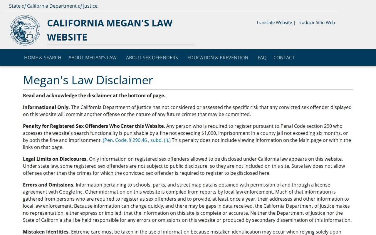
The name and map options should be read with the site's statutory limits, and a result is not a reason to publish a neighbor's details.
Consumer problems belong with the agency that receives complaints. The California Attorney General's consumer complaint route can be used to report a business or transaction concern. It is separate from parcel, voter, and deed evidence, and it does not certify a person's identity.
Use the California Attorney General consumer complaint resource for the official reporting path. This image is a relevant official resource reference, not an endorsement.
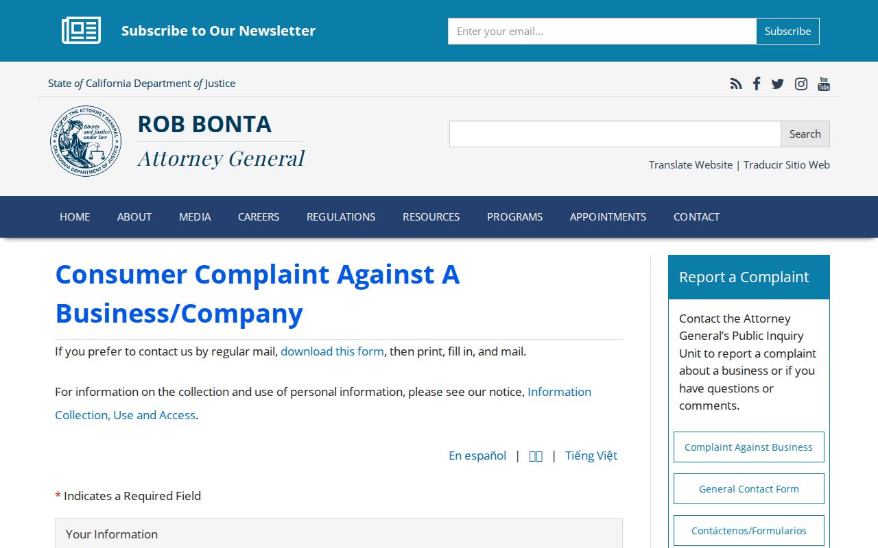
The complaint route gives a consumer a formal channel for an issue without turning a block lookup into an accusation.
If personal information is misused, the federal identity-theft recovery path provides a structured response. It is for a person whose information was compromised, not a directory for locating another person.
Review IdentityTheft.gov for the official federal recovery resource. This image is a relevant official resource reference, not an endorsement.
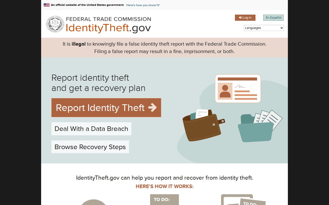
The recovery steps belong to the affected person and help keep sensitive information out of a neighborhood record trail.
Fraud or scam reports can go to the Federal Trade Commission's official reporting portal. A report supports documentation and enforcement, but it does not make the portal a neighbor lookup.
Use the FTC fraud reporting resource for the official complaint route. This image is a relevant official resource reference, not an endorsement.
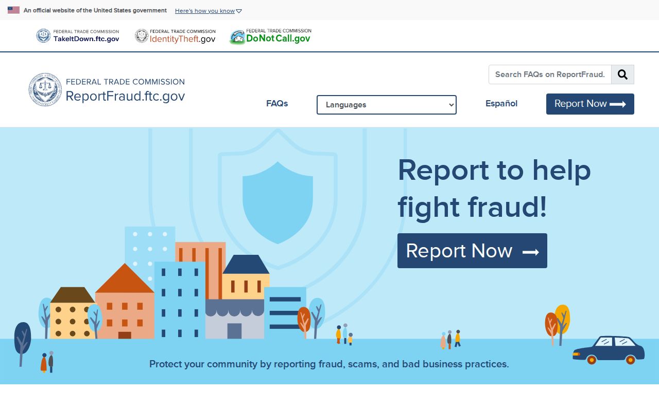
Keeping fraud reporting with the responsible agency protects the difference between a safety response and an unsupported claim about a neighbor.
Comparing Aliso Viejo Neighbor Records
Official and commercial neighbor tools solve different problems. County and city records have named custodians, field limits, and correction paths. Commercial category tools may combine broker, public, and contributed data. They can be stale, merged, or misattributed. The official chain should take priority when a GIS parcel, deed, voter restriction, or safety rule matters.
| Question | Official Records and Portals | Commercial Category Tools |
|---|---|---|
| Where is the parcel? | OC GIS and an APN connect the address to mapped land | May normalize an address, but the county map remains the authoritative parcel reference |
| Who appears in a transfer? | RecorderWorks points to grantors, grantees, and recorded documents; copies allow verification | Compiled ownership claims require confirmation with the custodian |
| Is a voter record available? | Self-authentication or a qualified file application, with purpose and security rules | Cannot lawfully bypass voter-file restrictions |
| Who is in the household? | No official source provides a complete household list; people who do not own the parcel and private members may not appear | Cannot reliably reveal every adult, child, guest, or household |
| How is a conflict corrected? | Ask the assessor, recorder, elections office, or other original custodian; use Safe at Home where eligible | An opt-out may affect a copy held by the service, not the underlying government record |
An official comparison should not be read as a promise that government sources are complete. The assessor site omits owner names, the voter portal is not a street browser, and the RecorderWorks index is only a pointer. Those limits are more useful than an unverified name list because they show what can be checked next.
Privacy Limits on Aliso Viejo Neighbors
An Aliso Viejo neighbors lookup stops where law or personal privacy starts. Utility customer records, DMV address data, delivery records, and private association rosters are not general public directories. California's Driver's Privacy Protection Act limits DMV personal information. Safe at Home can replace a participant's mailing address and suppress voter registration, while recorded-document Social Security number redaction requests go to the Clerk-Recorder. These protections mean a missing name is not proof that a parcel is empty or that a person moved.
California privacy rights for covered business-held data include knowing, deleting, correcting, opting out of sale or sharing, and limiting sensitive-data use, subject to exceptions. The Delete Act adds a centralized data-broker deletion mechanism, but these laws do not erase deeds or other government records agencies must retain. Use the custodian's correction path for a parcel, deed, court, license, or voter record instead of trying to merge conflicting copies.
California Penal Code section 646.9 addresses stalking; Penal Code section 422 covers criminal threats; and Code of Civil Procedure section 527.6 provides civil-harassment remedies. Voter-file misuse is restricted under Elections Code section 18109 and related rules. A neighbor lookup may support lawful personal research, family reconnection, civic curiosity, or safety awareness. It should never become surveillance, intimidation, publication of protected data, or harassment.
Lawful use. Public records are for lawful personal research. Do not use a block search to stalk, harass, threaten, or harm anyone; respect Safe at Home, voter-file, DMV, and association privacy rules.